Geomatics Engineering
What is Geomatics Engineering About?
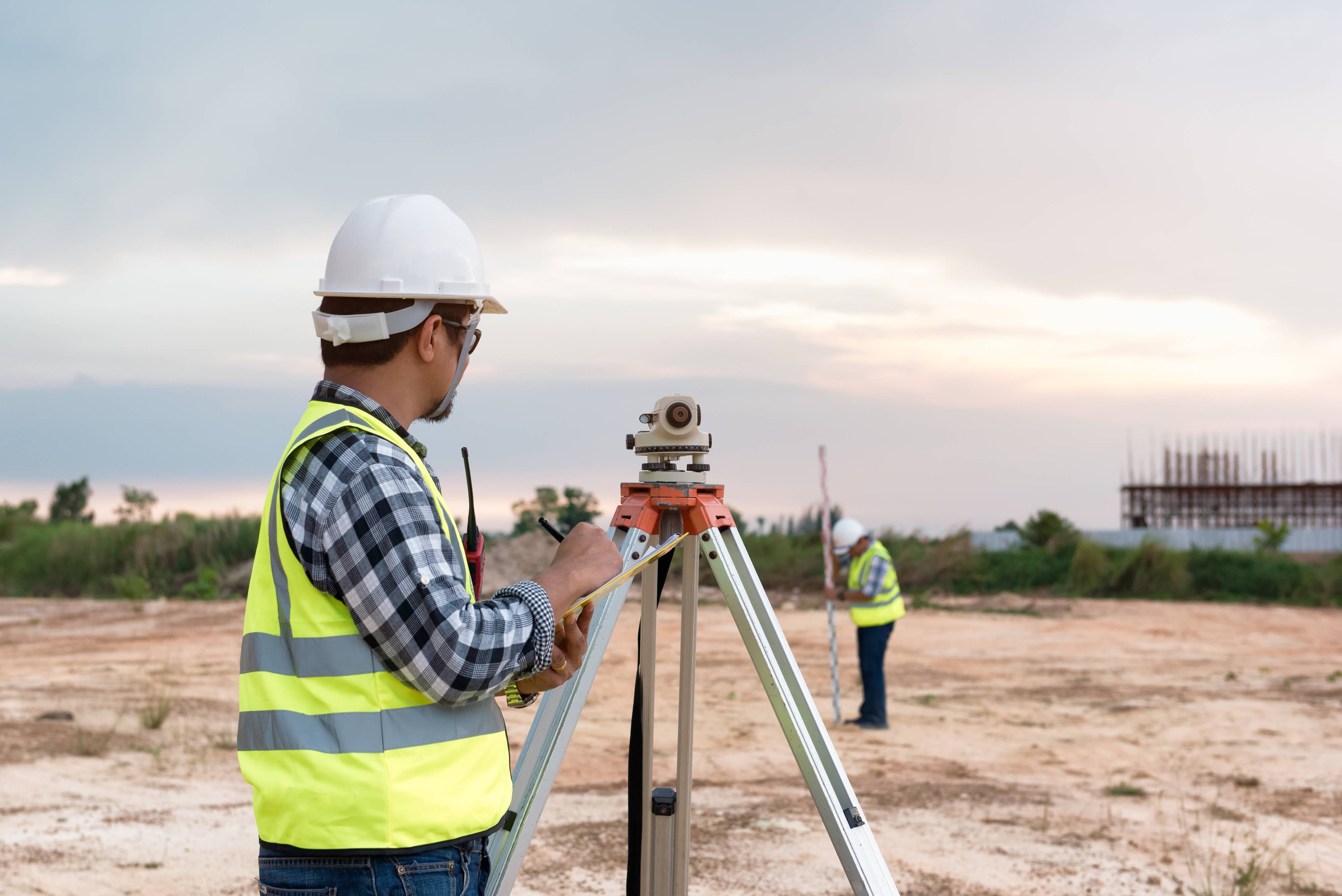
Geomatics is a new term incorporating cutting edge technology in image processing, digital photogrammetry, remote sensing, satellite-based global positioning, geographic information systems, drone based mapping, laser scanning, surveying and digital mapping. In addition, geomatics engineering can involve work in land development, construction surveying, forensic surveying, hydrographic surveying and spatial data analysis.
Career Outlook
Employment of geomatics engineers is projected to grow up to 15% from 2018 to 2028. Surveyors will continue to be needed to certify boundary lines, work on resource extraction projects, and review sites for construction. The geomatics engineering field is much more than just surveying, it includes geographic information systems, geospatial intelligence, photogrammetry, mapping, geodesy, remote sensing and reality capture using the latest imaging technology.
Overall job opportunities are expected to be excellent because the average age of professional licensed surveyors nationally is over 50, and those with knowledge of a variety of surveying specializations and a bachelor’s degree from an ABET-accredited school will have the best job opportunities. For more information visit the following US Bureau of Labor Statistics websites:
Occupational Outlook for Surveyors
Occupational Outlook for Cartographers and Photogrammetrists
Curriculum
The program of study leading to a bachelor of science degree in geomatics engineering (120 credits) provides a unique environment to prepare students for the Principles and Practice of Land Surveying (PS) and the Principles and Practice of Engineering (PE) exams that lead to professional licensing. This degree not only prepares students for the future, but it prepares them to design the future.
Geomatics Engineering Undergraduate Degree Program Information
- Admission Requirements
- Degree requirements
- Meet all general degree requirements of the University
- Complete the curriculum for the B.S. in Geomatics Engineering degree
- Take the Fundamentals of Surveying examination (the first of two exams necessary for professional licensure; send email to cege@fau.edu for details)
- Flight Plans
- Undergraduate Mission, Objectives and Outcomes
- Geomatics Minor
- Surveying and Mapping Certificate
- Enrollment and Graduation Data
- Student Learning Outcomes Assessment
The Accreditation Board for Engineering and Technology
The Accreditation Board for Engineering and Technology (ABET) is recognized in the United States as the sole agency responsible for accreditation of educational programs leading to degrees in engineering. The first statement of the Engineers' Council for Professional Development (ECPD, now ABET) relating to accreditation of engineering educational programs was proposed by the Committee on Engineering Schools and approved by the Council in 1933. The original statement, with subsequent amendments, was the basis for accreditation until 2000. The statement presented here is required of programs beginning in 2001. These criteria are called Engineering Criteria 2000 (EC2000).
Engineering education programs may be accredited at the basic or the advanced level; however, a program may be accredited at only one level in a particular curriculum at a particular institution. All accredited engineering programs must include "engineering" in the program title. To be considered for accreditation, engineering programs must prepare graduates for the practice of engineering at a professional level.
The ABET accreditation process is a voluntary system of accreditation that:
- assures that graduates of an accredited program are prepared adequately to enter and continue the practice of engineering
- stimulates the improvement of engineering education
- encourages new and innovative approaches to engineering education
- identifies these programs to the public.
The undergraduate Geomatics Engineering program is accredited by the Accreditation Board for Engineering and Technology (ABET) Engineering Accreditation Commission (EAC). The initial accreditation was October 1, 2010. The last accreditation visit for the undergraduate civil engineering program review was in the Fall of 2014. The date of the next comprehensive review is 2020-2021.

Geomatics Engineering Course Implementation Schedule
Geomatics courses will be available to first and second year students at first with a limited selection of third year courses. Due to the large number of Geomatics Engineering upper level courses, it will take time to bring them all online.
The chart below is a preliminary schedule of when the upper level courses will be offered.
F = Fall Semester
S = Spring Semester
| Course (Academic Year, Fall/Spring) |
2014-2015 | 2015-2016 | 2016-2017 | 2017-2018 | ||||
|---|---|---|---|---|---|---|---|---|
| SUR 2034 Intro to Geomatics Engineering | F | F | F | F | ||||
| SUR 2101 Plane Surveying SUR 2101L Lab |
S | S | S | S | ||||
| SUR 3643 Surveying Data Analysis | F | F | F | F | ||||
| SUR 3331 Photogrammetry SUR 3331L Lab |
F | F | F | F | ||||
| SUR 3141 Automated Surveying & Mapping SUR 3141L Lab |
F | F | F | F | ||||
| SUR 3530 Introduction to Geodesy | S | S | S | S | ||||
| SUR 3205 Eng & Construction Surveying SUR 3205L Lab |
S | S | S | S | ||||
| SUR 3463 Land Subdivision & Platting SUR 3463L Lab |
S | S | S | S | ||||
| SUR 4670 Geomatics Eng Design 1 | F | F | F | F | ||||
| SUR 4302 Hydrographic Surveying SUR 4302L Lab |
F | F | F | F | ||||
| SUR 4531 Positioning with GPS SUR 4531L Lab |
F | F | F | F | ||||
| ENG 4613 Engineering Economics | F | F | F | F | ||||
| SUR 4672 Geomatics Eng Design 2 | S | S | S | S | ||||
| SUR 4403 Legal Aspects of Surveying | S | S | S | S | ||||
| GIS 3015 Intro to Mapping & GIS | F | S | F | S | F | S | F | S |
| GIS 4043 Principles of Geographic Information Systems | F | S | F | S | F | S | F | S |
| GIS 4035 Remote Sensing of the Environment | F | F | F | F | ||||
Undergraduate Mission, Objectives and Student Outcomes
Mission
The Geomatics Engineering program strives to deliver a quality educational experience in surveying, mapping, and emerging geomatics technologies throughout the FAU service area and beyond, and makes a significant contribution to the needs of a growing southeast Florida community. Program faculty focus on student-centered learning methodologies that requires students to be active, responsible participants in their own learning. This program values ethical behavior, critical thinking, innovation, individual responsibility, thoughtful risk taking, teamwork, and leadership.
Program Educational Objectives
Within three to five years of graduation, geomatics engineering graduates are expected to exhibit the following professional characteristics:
- Practice geomatics engineering within the general areas of boundary and land surveying, geographic information systems (GIS), photogrammetry, remote sensing, mapping, geodesy, and global navigation satellite positioning systems in the organizations that employ them.
- Advance their knowledge of geomatics engineering, both formally and informally, by engaging in lifelong learning experiences including attainment of professional licensure, and/or graduate studies.
- Serve as effective professionals, based on strong interpersonal and teamwork skills, an understanding of professional and ethical responsibility, and a willingness to take the initiative and seek progressive responsibilities.
- Participate as leaders in activities that support service to, and/or economic development of, the region, the state and the nation.
Student Outcomes
At the time of graduation, students will attain the following:
- An ability to apply knowledge of mathematics, science, and engineering.
- An ability to design and conduct experiments, as well as to analyze and interpret data.
- An ability to design a system, component, or process to meet desired needs within realistic constraints such as economic, environmental, social, political, ethical, health and safety, manufacturability and sustainability.
- An ability to function on multi-disciplinary teams.
- An ability to identify, formulate, and solve engineering problems.
- An understanding of professional and ethical responsibility.
- An ability to communicate effectively.
- The broad education necessary to understand the impact of engineering solutions in a global, economic, environmental, and societal context.
- A recognition of the need for, and an ability to engage in life-long learning – specifically: graduates will be successful in finding professional employment, attaining professional licensure, and/or pursuing further academic studies.
- A knowledge of contemporary issues.
- An ability to use the techniques, skills, and modern engineering tools necessary for engineering practice – specifically: Graduates will have an advanced understanding of the following areas of Geomatics Engineering: 1) Surveying, including but not limited to, boundary and land surveying, subdivision and plat creation, control surveys, and construction surveys, 2) geographic information systems (GIS), 3) photogrammetry and remote sensing 4) mapping, to include but not limited, to topographic maps, cadastral maps, and land use maps, 5) geodesy, and 6) Global Navigation Satellite Positioning Systems (GPS, GLONASS, etc).
Undergraduate Geomatics Engineering Program
Sample 4-Year Program of Study for Bachelor of Science in Geomatics Engineering
| First Year | ||
|---|---|---|
| Fall Semester (14 Total Credits) | ||
| College Writing I | ENC 1101 | 3 |
| General Chemistry I | CHM 2045 | 3 |
| General Chemistry I Lab | CHM 2045L | 1 |
| Calculus for Engineers 1 | MAC 2281 | 4 |
| Fundamentals of Engineering | ENG 1002 | 3 |
| Spring Semester (14 Total Credits) | ||
| College Writing II | ENC 1102 | 3 |
| Physics for Engineers I | PHY 2043 | 3 |
| General Physics I Lab | PHY 2048L | 1 |
| Calculus for Engineers 2 | MAC 2282 | 4 |
| Social Science/Humanities (1) | 3 | |
| Second Year | ||
|---|---|---|
| Fall Semester (14 Total Credits) | ||
| Physics for Engineers II | PHY 2044 | 3 |
| General Physics II Lab | PHY 2049L | 1 |
| Calculus w/ Analytic Geometry III | MAC 2313 | 4 |
| Intro. to Geomatics Engineering | SUR 2034 | 3 |
| Social Science/Humanities (2) | 3 | |
| Spring Semester (16 Total Credits) | ||
| Intro. to Maps and GIS w/Lab | GIS 3015C | 3 |
| Engineering Math 1 | MAP 3305 | 3 |
| Plane Surveying w/Lab | SUR 2101/SUR2101L | 4 |
| Public Speaking | SPC 2601 | 3 |
| Social Science/Humanities (3) | 3 | |
| Third Year | ||
|---|---|---|
| Fall Semester (16 Total Credits) | ||
| Surveying Data Analysis | SUR 3643C | 3 |
| Photogrammetry w/Lab | SUR 3331/SUR 3331L | 3 |
| Automated Surveying and Mapping | SUR 3141C | 4 |
| Probability and Statistics for Engineers | STA 4032 | 3 |
| Social Science/Humanities (4) | 3 | |
| Spring Semester (16 Total Credits) | ||
| Principles of Geographic Information Systems | GIS 4043C | 3 |
| Introduction to Geodesy | SUR 3530 | 3 |
| Engineering & Construction Surveying w/Lab | SUR 3205/SUR 3205L | 4 |
| Land Subdivision and Platting w/Lab | SUR 3463/SUR 3463L | 3 |
| Social Science/Humanities (5) | 3 | |
| Fourth Year | ||
|---|---|---|
| Fall Semester (15 Total Credits) | ||
| Geomatics Engineering Design 1 | SUR 4670 | 3 |
| Remote Sensing of the Environment | GIS 4035C | 3 |
| Hydrographic Surveying w/Lab | SUR 4302/SUR 4302L | 3 |
| Positioning with GPS w/Lab | SUR 4536L | 3 |
| Engineering Economics | EGN 4600 | 3 |
| Spring Semester (15 Total Credits) | ||
| Geomatics Engineering Design 2 | SUR 4672 | 3 |
| Legal Aspects of Surveying | SUR 4403 | 3 |
| Social Science/Humanities (6) | 3 | |
| Professional Elective (1) | 3 | |
| Professional Elective (2) | 3 | |
| TOTAL | 120 | |
Undergraduate Geomatics Engineering Admission Requirements
Freshman Admission Requirements
Students must meet all the freshmen admission requirements of the University.
Transfer Student Admission Requirements
Transfer students must meet all the transfer admission requirements of the University.
Transfer students who have an A.A. degree are expected to have completed the following course requirements (deficiencies may be taken at FAU); see the Undergraduate Degree Requirements section of the Catalog for the required minimum grades.
Admission Requirements to the Degree Program
To be eligible for admission to the Bachelor's Degree in Geomatics Engineering Program, an applicant must satisfy the following criteria:
- Meet all the freshmen or transfer admission requirements of the University.
- Meet all Pre-Professional Engineering Program requirements (for admittance as of January 1, 2011).
Degree Requirements
The degree of Bachelor of Science in Geomatics Engineering will be awarded to students who:
- Meet all general degree requirements of the University.
- Complete the curriculum for the B.S. in Geomatics Engineering.